Weekend Showers, Midweek Warmth
Regional Weather Forecast Brings Weekend Showers Followed by Midweek Warmth Across Areas
Anonymous
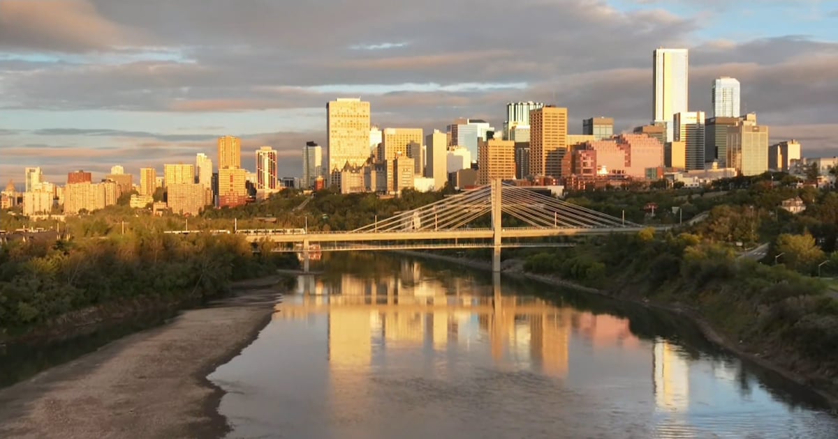
Across the covered regions, lingering clouds early in the week are expected to give way to sunnier or warmer weather midweek. In Alberta, cooler, seasonable conditions, near-freezing morning lows and gusty winds are forecast through Wednesday, followed by mostly dry weather and warmer temperatures next week. Several U.S. areas are expected to reach the 70s or 80s Thursday and Friday; Rapid City should stay mostly dry and seasonable, with winds strengthening later in the week and strongest Saturday. In the Boston area, clouds are expected Tuesday and Wednesday before warmer weather Thursday and Friday, with clouds returning Saturday and showers possible Sunday and more likely Monday. Shower chances rise across parts of the Northeast and Mid-Atlantic over the weekend, followed by cooler conditions into early next week.
Key Points
1
In Edmonton, afternoon highs are expected to stay near 15°C for several days, with morning lows around 0°C Thursday and Friday; highs could reach near 20°C for much of the following week. The forecast is mostly dry after Tuesday, though rain remains possible around Fort McMurray and farther north early Wednesday.
2
The Boston forecast puts Thursday’s high at 79°F and Saturday’s at 68°F, before showers become possible Sunday and are expected Monday.
3
In the area covered by WGAL, a few showers could arrive late Friday, but the rain chance is described as low. The following week is forecast to be dry, with highs in the low-to-mid 60s and overnight lows in the 40s and 50s.
4
The WMAR forecast gives a more specific weekend timeline: showers are possible late Friday night and Saturday, with showers likely Saturday night and Sunday; Monday is forecast to be partly sunny with a high near 67°F.
Sentiment
Mostly NegativeNEGATIVENEUTRALPOSITIVE
Publishers
24
Articles
14
Reach
38
A
AnonymousAuthor


