Frost Risks Return
Fall Chill Brings First Frost Risks and Cooler Temperatures Across the Region
Anonymous
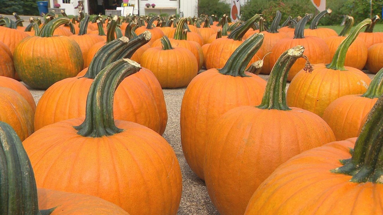
Fall has brought cooler temperatures and unsettled weather in parts of the northern plains, with rain chances lingering in KELOLAND and a passing front bringing showers, gusty winds and a sharp nighttime cooldown in another regional forecast. Frost is also becoming a focus for growers: it can form at ground level even when thermometers several feet above the surface remain above freezing, so local conditions matter when estimating first-frost dates. Across Canada, frost timing varies widely by region, and frost-zone averages offer gardeners and farmers a guide rather than a guarantee; clear skies and light winds can favor frost, making local advisories important.
Key Points
1
In the White River Valley, Thursday’s showers held off until after students returned from the Tunbridge Fair; Friday began mildly before a strong westerly breeze arrived and temperatures fell into the 40s that night.
2
KELOLAND’s fall equinox highs were mainly in the 60s. Sioux Falls last had equinox highs in the 60s in 2022, while Aberdeen, Pierre and Rapid City last did in 2023; that year, Aberdeen recorded more than half an inch of rain and Pierre just over eight-tenths of an inch.
3
An Alberta weather report noted that some locations had a light frost around September 13–14. It said ground-level frost can occur with thermometer readings as high as 2°C, and in some cases 5°C, because thermometers are typically positioned several feet above the ground.
4
Canada’s Frost Zones run from 0 to 9: Zone 0 describes the coldest parts of northern Canada, while Zone 9 includes milder parts of Vancouver Island. The zones are based on 30-year averages and do not capture year-to-year variability.
Sentiment
Mostly NegativeNEGATIVENEUTRALPOSITIVE
Publishers
18
Articles
7
Reach
25
A
AnonymousAuthor


