Eastern Coastal Flooding
Severe Coastal Flooding Submerges Roads and Disrupts Travel Across the Eastern United States
Anonymous
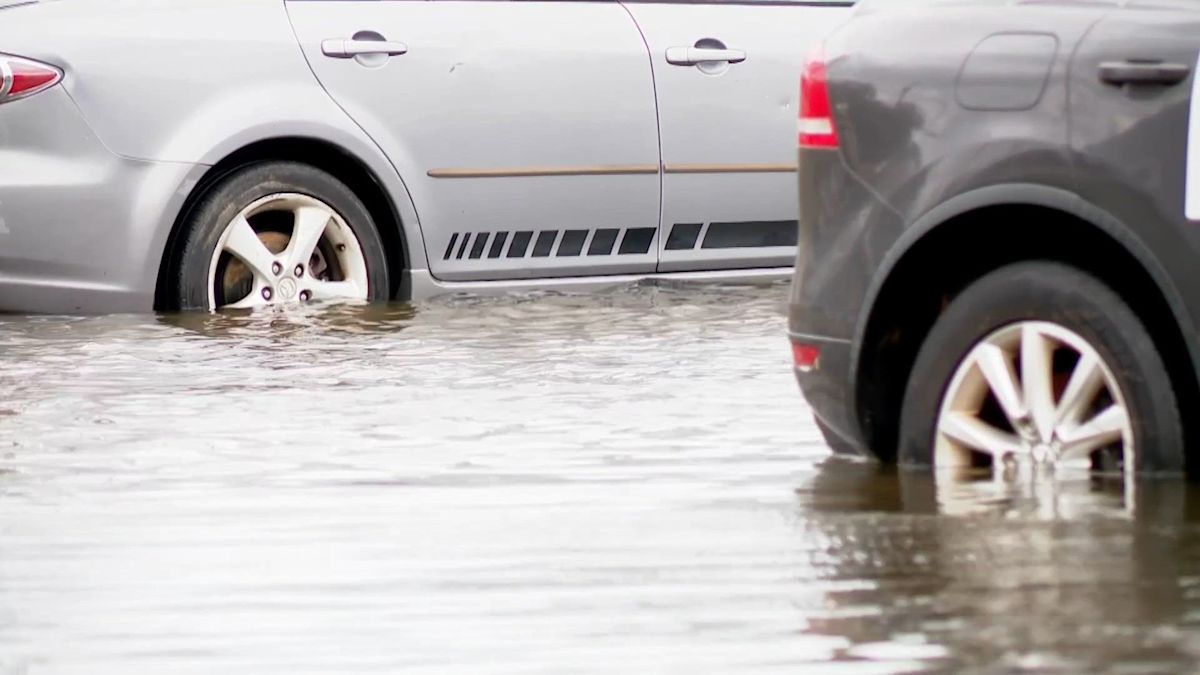
High tides, a full moon, strong winds and large surf raised coastal flood risks from South Carolina to Maine, with inundation, road flooding, erosion and dangerous rip currents expected in some areas. In Westerly, Rhode Island, high-tide flooding submerged roads and a car, and storm-related power loss affected a hotel. In Hampton Roads, Virginia, flooding stranded vehicles, affected homes and businesses, closed roads and disrupted light-rail service; Norfolk officials urged residents to avoid travel, and schools closed. Heavy rain also flooded a Parkersburg, West Virginia, business, with reports of landslides and a collapsed road culvert as a flood watch remained in effect. Officials warned people not to enter floodwaters or go into dangerous surf.
Key Points
1
In coastal York County, Maine, forecasters warned that waves could add 1 to 2 feet of surge to high tides, with 7- to 12-foot breaking waves and a high risk of rip currents; flooding and erosion could persist through several tide cycles, possibly into Monday.
2
On Hatteras Island, North Carolina, the advisory warned of up to 1 to 2 feet of inundation in low-lying areas with compromised dunes. NC-12 was already closed between the Basnight Bridge and Rodanthe, and numerous other roads could close.
3
A coastal flood advisory for parts of South Carolina’s Jasper and Beaufort counties forecast up to half a foot of saltwater inundation, with flooding possible one to two hours before and after the 8:53 a.m. high tide at Fort Pulaski.
4
In Westerly, Rhode Island, visitors came to watch the large waves despite the flooding. One visitor described the swell as too big for him to surf, while the Pleasantville Inn lost power and guests’ rooms were left pitch black, according to an assistant manager.
Sentiment
Mostly NegativeNEGATIVENEUTRALPOSITIVE
Publishers
23
Articles
24
Reach
47
Topics
A
AnonymousAuthor


