Major Hurricane Approaches Landfall
Hurricane Polo approaches Baja California Sur with damaging winds and life-threatening floods.
Anonymous
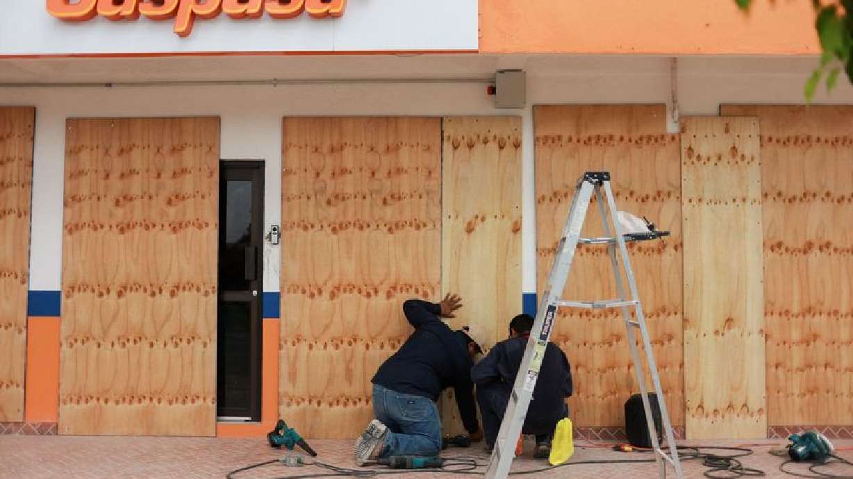
Hurricane Polo is a Category 3 major hurricane approaching Baja California Sur, where a hurricane warning is in effect and landfall is expected Monday. Despite forecast weakening, damaging winds, heavy rain, flooding, dangerous surf and life-threatening coastal conditions remain concerns; Los Cabos beaches are closed and ports across the state have suspended navigation because of the swell. Polo is expected to cross the Gulf of California and then move into mainland Mexico, weakening over land. Its tropical moisture is also expected to bring heavy rain and flash-flood risk to parts of the Desert Southwest, with saturated ground, burn scars and normally dry washes especially vulnerable.
Key Points
1
A NOAA Hurricane Hunter aircraft found Polo had a closed 22-nautical-mile eyewall and a minimum central pressure of 951 millibars; significant waves near the storm’s center were estimated at 10 to 12 meters (33 to 39 feet).
2
The hurricane warning covers Baja California Sur’s west coast from Punta Abreojos to Santa Fe. NOAA Hurricane Hunters reported peak flight-level winds of 128.9 mph and a pressure reading of 945.8 millibars.
3
Los Cabos municipal crews and police were patrolling beaches to remove swimmers and warn hotel guests to stay on dry sand; officials cautioned that sunny inland weather does not indicate safe ocean conditions.
4
The Weather Prediction Center issued a Moderate Risk of excessive rainfall for parts of Arizona, New Mexico, southern Utah and southwestern Colorado on Monday, with the main concern shifting Tuesday toward eastern Arizona, much of New Mexico and parts of the southern High Plains. Some heavy rain could arrive ahead of Polo’s main moisture plume.
5
Mexico’s National Meteorological Service forecast very heavy rain in Jalisco, Sinaloa and Nayarit, and heavy rain in Colima, Michoacán and Baja California Sur, with possible river and stream overflows, flooding and landslides.
Sentiment
Mostly NegativeNEGATIVENEUTRALPOSITIVE
Publishers
23
Articles
132
Reach
155
Topics
A
AnonymousAuthor


