Widespread Severe Storm Alerts
Severe Thunderstorm Warnings Issued Across Multiple Regions Bringing Damaging Winds and Flash Flooding
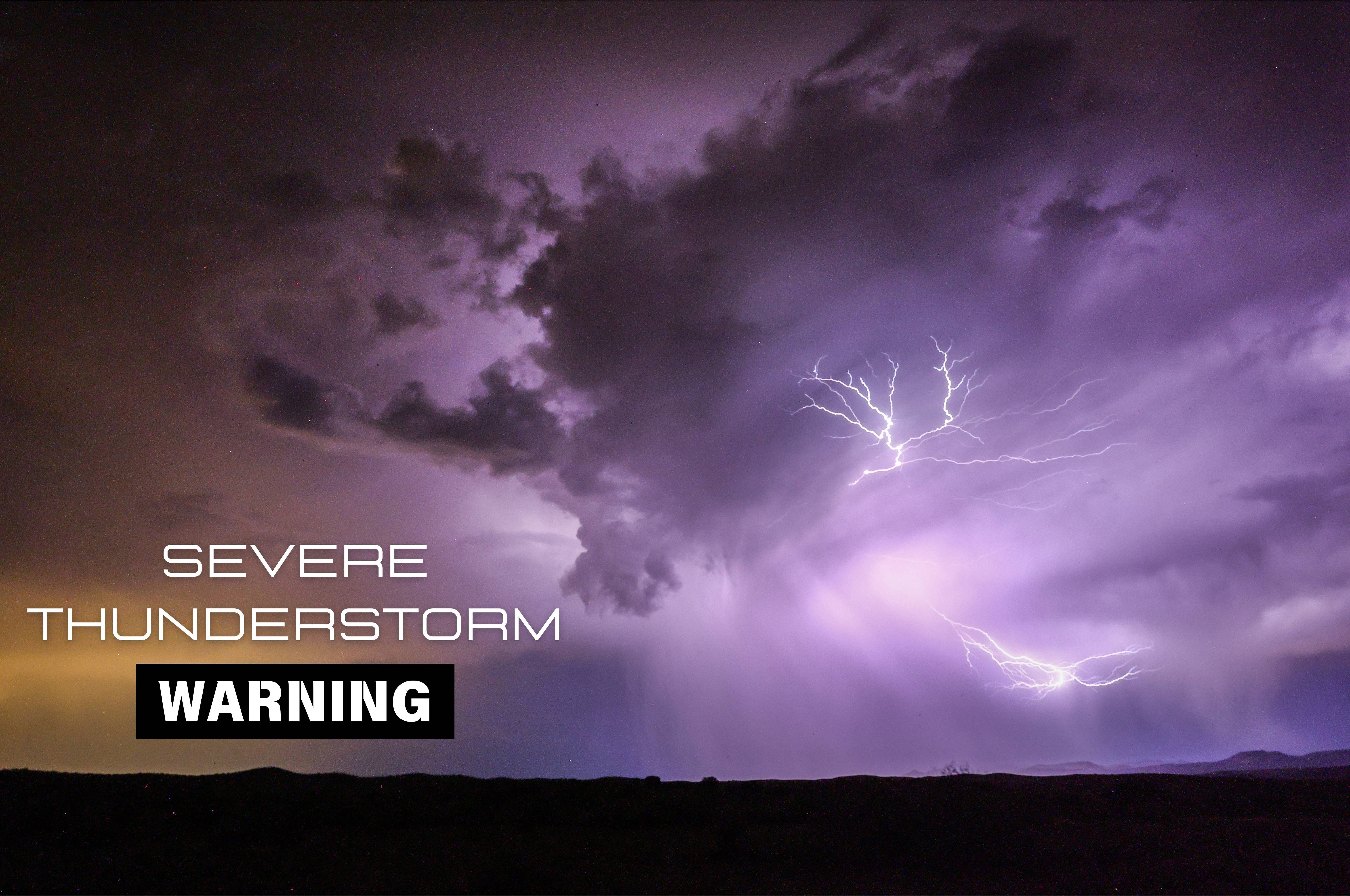
Key Points
A Severe Thunderstorm Warning is in effect for Western Adams, Southwestern Cumberland and Franklin Counties in Pennsylvania until 10:15 p.m., with a line of storms moving east around 25 mph. The threat includes hail damage to vehicles and wind damage to roofs, siding, and trees, with Interstate 81 (mile markers 1 to 27) notably affected.
A separate Severe Thunderstorm Warning for Southwestern Franklin County is in effect until 9:15 p.m., with very heavy rainfall and a risk of flash flooding. Authorities urge drivers not to attempt to traverse flooded roadways.
In Wyoming, Doppler radar tracked strong thunderstorms along a line from Victor to near Palisades Reservoir, moving northeast toward Teton Pass and Jackson. Frequent cloud-to-ground lightning is occurring, with guidance that lightning can strike up to 10 miles away and people should seek shelter in a building or vehicle.
Memphis area is under a Severe Thunderstorm Watch until 10 p.m., with primary hazards of damaging winds exceeding 70 mph and embedded microbursts, plus large hail and heavy downpours. A Code Orange air quality alert remains in effect until sunset, and residents are advised to download the local weather app for alerts.
The NWS Greenville-Spartanburg SC watch covers several counties and includes explicit lightning safety guidance, such as establishing a plan to reach safer shelter, seeking indoor shelter when thunder roars, avoiding corded phones and windows indoors, and minimizing exposure if outdoors by avoiding open fields and tall objects.
Severe thunderstorm warnings and watches blanketed a vast region from Pennsylvania to Wyoming on August 22, 2026, threatening damaging winds of 60 to 70 mph, hail up to 0.75 inches, and heavy rainfall through the evening NWS State College. The National Weather Service issued multiple alerts across south-central Pennsylvania, the Mid-South, the Carolinas, and the Rocky Mountains, with authorities urging residents to seek shelter indoors and avoid flooded roadways NWS Memphis.
Pennsylvania storms produce flash flooding and wind damage
A line of storms moved east across south-central Pennsylvania at 25 mph on the evening of August 22, triggering two separate Severe Thunderstorm Warnings NWS State College. Western Adams, Southwestern Cumberland, and Franklin Counties faced threats until 10:15 p.m. EDT, with hail damage to vehicles and wind damage to roofs, siding, and trees. A separate warning for Southwestern Franklin County emphasized very heavy rainfall and flash flooding risks, with authorities warning drivers: "Do not attempt to traverse flooded roadways." Interstate 81, specifically mile markers 1 to 27, was notably affected NWS State College.
Memphis faces damaging winds and air quality concerns
The Memphis area remained under a Severe Thunderstorm Watch until 10 p.m. CDT, with primary hazards of damaging winds exceeding 70 mph and embedded microbursts, plus large hail and heavy downpours NWS Memphis. Forecasters classified the system as a "severe bow echo," a meteorological pattern notorious for producing straight-line wind damage rather than tornadoes. The Shelby County Health Department simultaneously issued a Code Orange Air Quality Alert through sunset, advising active children and adults, plus people with respiratory disease, to limit prolonged outdoor activity Shelby County Health Department.
Wyoming thunderstorms bring frequent lightning strikes
Doppler radar tracked strong thunderstorms along a line from Victor to near Palisades Reservoir in Wyoming, moving northeast toward Teton Pass and Jackson NWS Riverton. Frequent cloud-to-ground lightning was occurring throughout the evening. Safety guidance emphasized that lightning can strike up to 10 miles away from the parent storm, urging people to seek shelter immediately in a building or vehicle when thunder roars NWS Riverton. The western system raised wildfire concerns in dry areas vulnerable to lightning ignition.
Lightning safety and preparation across multiple states
The National Weather Service Greenville-Spartanburg SC and other regional offices provided explicit lightning safety guidance to residents in the Carolinas and beyond NWS Greenville-Spartanburg. Recommended steps include establishing a plan to reach safer shelter, seeking indoor shelter when thunder roars, avoiding corded phones and windows indoors, and minimizing exposure outdoors by staying away from open fields and tall objects. Authorities urged residents to download local weather apps for real-time alerts and to wait 30 minutes after the last lightning before venturing outside NWS Greenville-Spartanburg. Officials warned that straight-line winds of 60 to 70 mph could cause power outages, downed power lines, and property damage across multiple states as the weather system evolved.
Sentiment
Mostly NegativePublishers
35
Articles
95
Reach
130