Utah, Montana, Iowa Weekend Weather Update
Utah, Montana, Iowa Weekend Weather Update
Anonymous
Key Points
1
Utah on Friday is expected to reach around 103°F with about a 30% chance of afternoon showers and thunderstorms, ahead of a cold front that slides across tonight into Saturday bringing much cooler air.
2
In Montana, the deepest rainfall is forecast in the southwest and central parts of the state, with a risk of isolated strong to severe storms across southeastern Montana and northern Wyoming between 1 p.m. and midnight, bringing gusty winds and brief heavy rainfall.
3
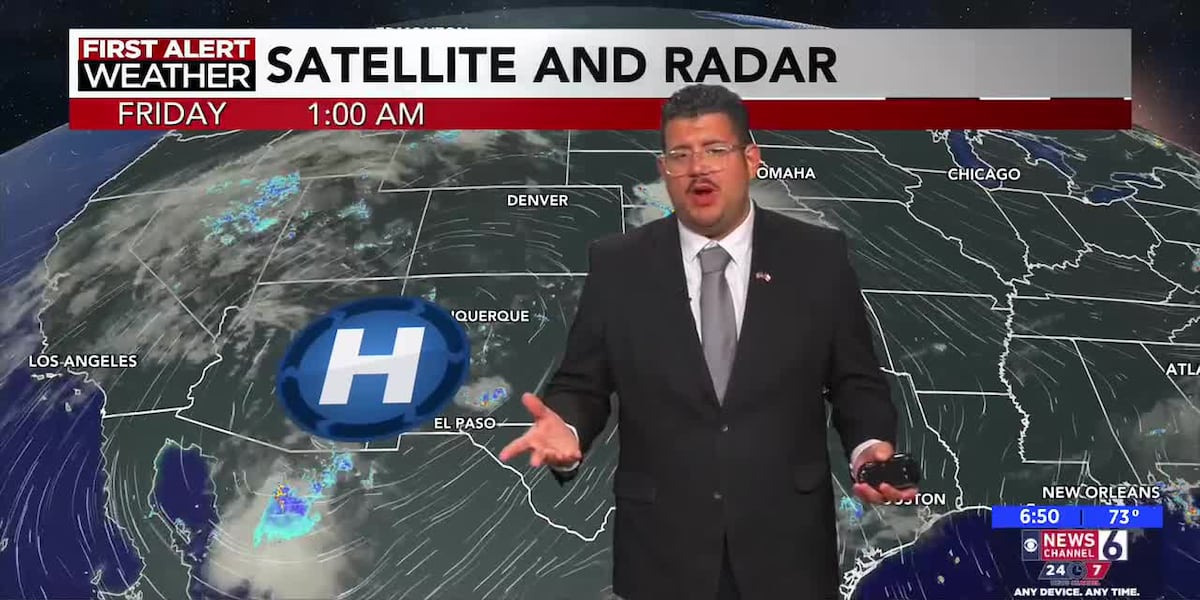
Baton Rouge is expected to experience lower rain chances this weekend due to a ridge of high pressure moving east, with peak heat around 100–106°F over the next seven days and no heat advisories; Tropical Storm Dolly in the Atlantic is likely to shear apart, with no new tropical formation expected.
4
In Iowa, humidity will rise with dew points reaching the upper 60s to 70s, and showers and storms become more likely over the weekend, beginning in the northwest Saturday morning and potentially shifting southeast, with Friday highs in the low to mid 80s.
5
East Texas will stay hot and dry this weekend with mostly sunny skies and highs in the upper 90s, with only a slight chance of an isolated shower; rain chances are expected to return by mid-next week toward Labor Day weekend.
Utah, Montana, and Iowa face dramatically different weather this weekend as competing weather systems reshape conditions across the region. Utah will see a cold front arrive Friday night, dropping temperatures well below average by Saturday after Friday highs near 103°F Fox13. Montana braces for scattered showers and isolated thunderstorms throughout the weekend, with the heaviest rain expected in the southwest and central parts of the state KULR8. Meanwhile, Iowa will turn warmer and more humid, with shower and storm chances increasing as dew points climb into the upper 60s to 70s.
The contrast reflects a larger pattern: high-pressure ridges are keeping southern regions hot and dry, while cold air masses and moisture-laden fronts are stirring up active weather across the northern plains. By mid-next week, rain chances will return to parts of Texas as Labor Day approaches.
Utah Braces for Cold Front and Storm Risk
Utah's Friday will bring warm, humid air with highs around 103°F and a 30% chance of afternoon showers and thunderstorms Fox13. The real story begins Friday night when a cold front slides across the state, ushering in much cooler air for Saturday. Strong to severe storms are possible in the afternoon and evening, mainly across the north, with scattered showers expected throughout the region.
The timing is significant: this weekend marks the last days of August, and the weather shift will bring temperatures well below average for late summer. Residents should monitor alerts for the potential of strong to severe weather, especially in northern areas.
Montana's Wet Weekend With Strong Storm Potential
Montana will see scattered showers and isolated thunderstorms throughout the weekend, with the heaviest rainfall expected in the southwest and central parts of the state KULR8. Southeastern Montana and northern Wyoming face a heightened risk of strong to severe storms between 1 p.m. and midnight, bringing gusty winds and brief heavy rainfall.
Weekend highs will trend cooler than normal, and the wet pattern reflects the influence of moisture-laden air masses and lingering frontal features. Rain totals in some areas could be locally heavy, particularly where storms train over the same ground.
Iowa Warms Up With Increasing Humidity and Storms
Iowa's weekend pattern flips from dry to wet as humidity surges and dew points climb into the upper 60s to 70s 1039WVBO. Friday highs will reach the low to mid-80s, but showers and thunderstorms will become increasingly likely starting Saturday morning in the northwest, then shifting southeast through the day.
The rising humidity creates more unstable air, fueling stronger afternoon and evening thunderstorms. This represents a dramatic shift from the dry conditions that have dominated recent weeks, bringing much-needed moisture to the region.
Southern Regions Stay Hot and Dry Through Weekend
Baton Rouge and the Gulf Coast region will experience mostly dry, hot conditions this weekend due to a ridge of high pressure moving east Newschannel6, keeping rain chances low. Peak heat will range around 100–106°F over the next seven days, with no heat advisories issued. Tropical Storm Dolly, currently in the Atlantic, is expected to shear apart with no new tropical formation on the horizon.
East Texas will remain hot and dry with mostly sunny skies and highs in the upper 90s, with only a slight chance of isolated showers. Rain chances will return by mid-next week as Labor Day approaches, signaling the beginning of a transition toward more active weather in the region.
Sentiment
Mostly PositiveNEGATIVENEUTRALPOSITIVE
Publishers
10
Articles
2
Reach
12
A
AnonymousAuthor


