Iowa Severe Weather Alert
Central and Eastern Iowa Under Tornado Watch Until 10 PM Amid Severe Storm Threats
Anonymous
Key Points
1
Heat index could reach around 105 degrees in the afternoon/evening, prompting heat advisories through about 8 p.m. in many areas.
2
Storms are expected to develop in the afternoon (as early as 2–4 p.m., intensifying around 3–6 p.m.) and move southeast, with the potential for a band of storms; damaging winds and large hail are primary threats, with wind speeds possibly in the 40–50 mph range.
3
The tornado watch covers central and eastern Iowa, extending to a broad swath of counties (about 47 of 99), with the watch in effect until 10 p.m. and a non-negligible tornado threat, especially in the eastern half.
4
Air quality may be degraded by wildfire smoke from Canada, with conditions potentially worsening tonight as a cold front drags additional smoke southward.
5
In addition to winds and hail, forecasters warn of a non-zero tornado risk, particularly across eastern Iowa, alongside the potential for hail up to around 2.5 inches in diameter in some areas.
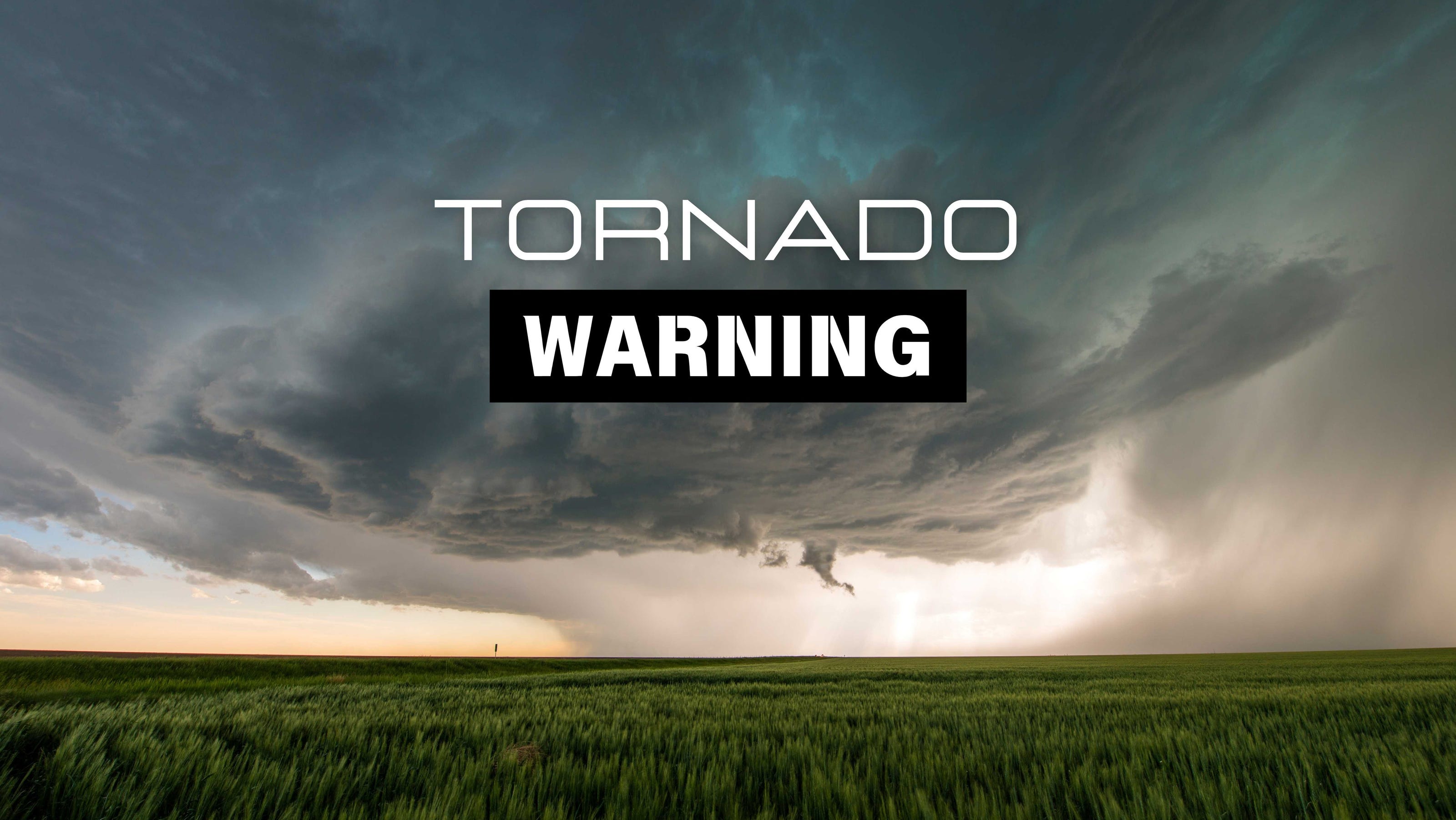
A tornado watch covers nearly half of Iowa — about 47 of 99 counties — through 10 p.m. Monday, as dangerous heat and humidity fuel a growing severe storm threat across central and eastern parts of the state. Rolling Out reports that heat indices could reach around 105 degrees, with damaging winds, large hail, and a real tornado risk all on the table.
A confirmed tornadic thunderstorm has already struck central Iowa. Traveling Lifestyle reports the National Weather Service issued a Tornado Warning for Story, Hardin, and Hamilton counties as the storm moved southeast at 30 mph. Ames Tribune adds that the storm is expected to stay over rural areas north of Ames.
Storms Firing Up Fast From Afternoon Into Evening
Forecasters expect storms to develop as early as 2 to 4 p.m. and intensify between 3 and 6 p.m. KWBG notes the tornado watch stays in effect until 10 p.m. Storms will track from northwest to southeast across the region. Activity is expected to die down near midnight, with cooler and drier air arriving Tuesday.
Damaging winds and large hail are the main threats. Wind gusts could hit 40 to 50 mph. Hail could grow up to 2.5 inches in diameter — roughly the size of a baseball. Rolling Out warns the situation could change quickly, so residents should stay weather-aware throughout the evening.
Tornado Threat Is Real, Especially in Eastern Iowa
The tornado watch spans a broad swath of central and eastern Iowa. Traveling Lifestyle reports the NWS Des Moines office confirmed a tornadic thunderstorm is already moving through the region. The risk is not just theoretical — forecasters call it non-negligible, particularly for the eastern half of the state.
If a tornado warning is issued for your area, seek sturdy shelter immediately. Stay away from windows. Des Moines Register advises avoiding driving through any warned areas if at all possible. A tornado warning means a tornado has been spotted or detected on radar — act fast.
Dangerous Heat and Wildfire Smoke Add to the Risk
Even before storms arrive, the heat is dangerous. Rolling Out reports heat indices could reach around 105 degrees Monday afternoon. Heat advisories are in place through about 8 p.m. across many counties. High humidity is making the air feel far hotter than the actual temperature.
Air quality is also a concern. Wildfire smoke drifting down from Canada could degrade conditions across Iowa. Forecasters warn air quality may worsen tonight as a cold front pushes additional smoke southward. People with asthma or heart conditions should limit time outdoors if smoke becomes heavy.
What to Do Before Storms Hit Tonight
Residents in central and eastern Iowa should have a weather plan ready now. Charge phones, download a weather alert app, and know where to take shelter. KWBG and the National Weather Service urge everyone to stay weather-aware through the evening hours. Do not wait for a warning to make a plan.
If storms move through your area, stay indoors and away from windows. Avoid driving through flooded or storm-damaged roads. The threat clears near midnight, with Tuesday expected to bring cooler, drier, and calmer conditions across the state.
Sentiment
Mostly NegativeNEGATIVENEUTRALPOSITIVE
Publishers
13
Articles
2
Reach
15
Topics
A
AnonymousAuthor


