Historic El Niño Incoming
NOAA Reports Intense El Niño Nearing Historic Strength, Forecasting Rainier US South Winter
Anonymous
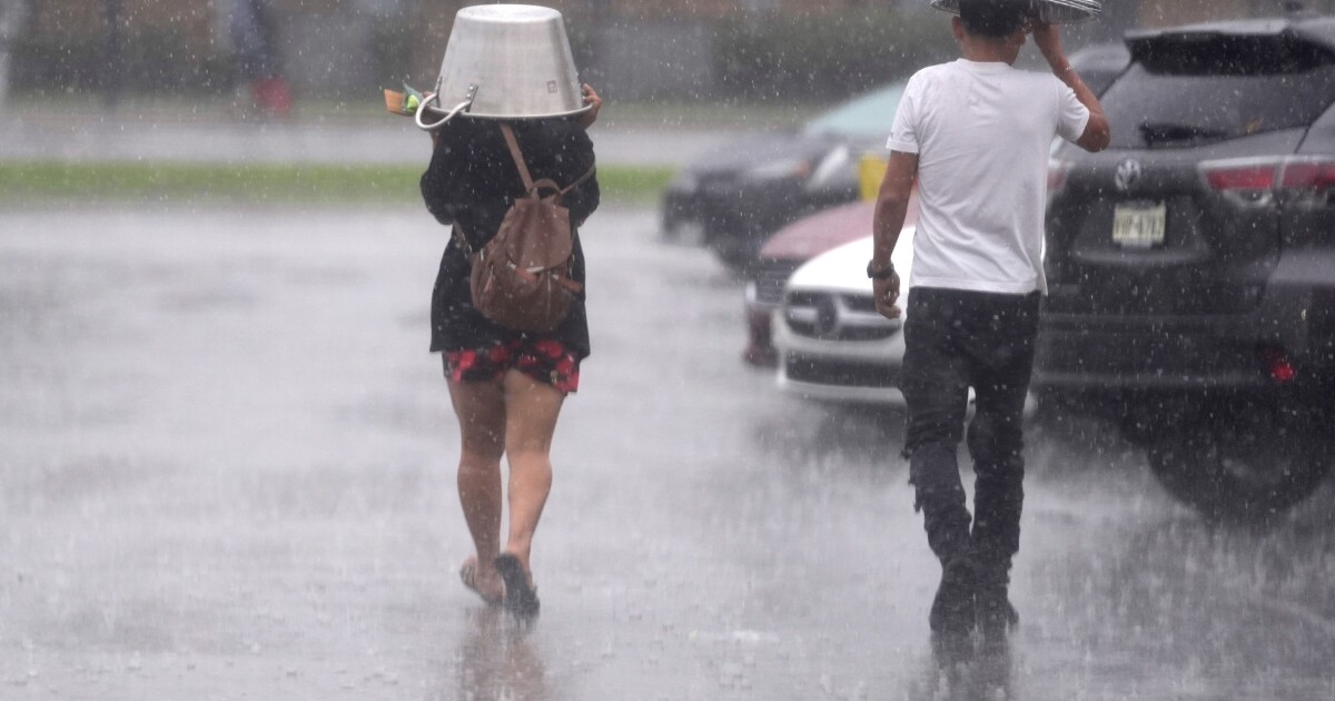
A powerful El Niño is rapidly intensifying in the Pacific Ocean, and forecasters say it has an 81% chance of becoming "very strong" by fall, according to KOAA and KJRH. The U.S. National Oceanic and Atmospheric Administration (NOAA) says this could rank among the most intense El Niños recorded since 1950.
El Niño is a natural warming of the equatorial Pacific Ocean. Scientists call it nature's heat-releasing thermostat. It formed just last month and is already considered moderate — with no signs of slowing down, KGUN9 reports.
How Strong Could This El Niño Get?
NOAA forecasters warn this El Niño could rival the devastating 1997–1998 event — one of the strongest ever recorded, according to KXLF. That earlier event triggered weather disasters that killed 23,000 people worldwide. It also raised poverty rates in several countries and cost governments up to $45 billion in damages.
The current El Niño formed last month and has already reached moderate strength. Scientists say there are no signs it will slow down. Its biggest impacts are expected to hit hardest in fall and winter, LEX18 reports.
Rainier Winters Ahead for the US South
El Niño typically brings wetter and stormier winters to the southern United States. This pattern shifts the jet stream — a fast-moving band of wind high in the atmosphere — pushing storms toward the South and Southwest, according to WTVR.
States like Texas, Louisiana, and Florida can expect more rain and flooding. Meanwhile, parts of the northern US may see warmer and drier conditions than usual this winter, WRTV reports.
Droughts, Heat Waves, and Extreme Weather Risks
El Niño does not just bring rain. It also increases the risk of droughts, heat waves, and other extreme weather events, according to 10News. Scientists stress that a strong El Niño makes extreme weather more likely — but does not guarantee it will happen everywhere.
The effects are felt globally, not just in the US. Regions in Africa, Asia, and South America can face severe droughts and crop failures during strong El Niño years, KIVITV reports. That global reach is why the 1997–1998 event caused so much economic damage worldwide.
What Scientists Are Watching This Fall and Winter
Forecasters will keep a close eye on Pacific Ocean temperatures in the months ahead. The strength of El Niño is measured by how much warmer the ocean gets compared to normal. A rise of 1.5°C or more above average qualifies as "strong," and a rise above 2°C is considered "very strong," according to KSHB.
NOAA says its forecasts will sharpen as fall approaches. For now, the agency urges communities in the southern US to prepare for heavier-than-normal rainfall. Emergency planners in flood-prone areas are already reviewing their readiness, WTXL reports.
Sentiment
NeutralNEGATIVENEUTRALPOSITIVE
Publishers
16
Articles
16
Reach
16
Topics
A
AnonymousAuthor


