Tropical Weather Monitoring
Forecasters Monitor Remnants of Tropical Wave Dolly and a Weak Gulf Low
Anonymous
Trending on XHurricane Season Activity: Lowell, Karina, and Remnants Impacting US
Key Points
1
Dolly briefly formed into a tropical storm on August 27, 2026, but was downgraded to a tropical wave the next day and continued to be monitored as it drifted toward the Gulf coast near Pensacola.
2
A weak Gulf low near Pensacola is moving west-northwest at about 25 mph and is expected to drift with little movement through the weekend, with the potential to approach southeast Louisiana by late Sunday or Monday and a 10% redevelopment chance.
3
Forecasts indicate most of south Louisiana and southwest Mississippi will see about an inch or less of rainfall through next Friday from this system, with localized higher amounts possible depending on the exact track.
4
On August 29, forecasters were monitoring two tropical disturbances in the region: the Dolly remnants and a separate weak low-pressure area in the Gulf, signaling multiple areas of interest in the tropics.
The remnants of Tropical Storm Dolly have weakened into a tropical wave drifting toward the Caribbean, with only a 10% chance of redeveloping over the next week, according to National Hurricane Center forecasters. A separate weak low-pressure system near Pensacola, Florida carries similar odds and poses no immediate Gulf Coast threat, though both systems are being monitored as they move westward.
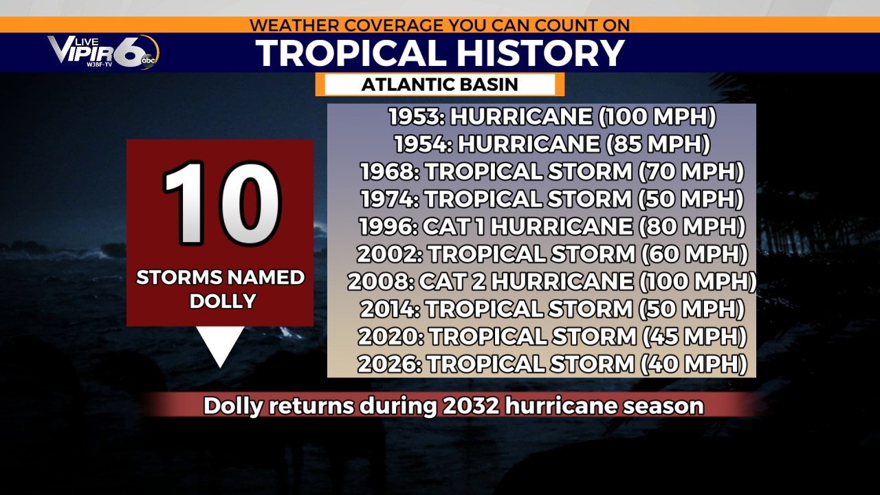
Dolly briefly became a tropical storm on August 27 with maximum sustained winds of 40 mph before upper-level winds and dry air shredded the system within 24 hours. The 2026 Atlantic season remains unusually quiet, with forecasters projecting 7 to 13 named storms for the full year, down from historical averages.
Caribbean Set for Heavy Rain From Dolly Debris
Dolly's remnants are moving west at 20 knots and will bring locally heavy showers to the Leeward Islands, Virgin Islands, and Puerto Rico through Sunday night, according to WFTV. Mountainous terrain could see flash flooding from orographic rainfall. The system poses no direct cyclone threat to the U.S. mainland at this time.
Gulf Low Drifts Slowly With Minimal Rain Expected
A weak low-pressure system 100 miles south-southwest of Pensacola is crawling westward toward southeast Louisiana. Southern Louisiana and southwestern Mississippi will receive less than 1 inch of rain through Friday from this disturbance, with localized higher amounts possible depending on track, NHC forecasters noted. The system remains nearly stationary through the weekend.
Dolly Destroyed by Wind Shear and Saharan Dust
Tropical Storm Dolly could not survive the hostile Atlantic environment it encountered. Strong southwesterly upper-level winds and a thick layer of Saharan dust stripped away the storm's circulation in 24 hours, dropping it to tropical wave status by August 28. Wind shear and dry mid-level air remain the dominant factors keeping both Dolly and the Gulf low from strengthening.
2026 Season Tracking Well Below Historical Pace
Through late August, the Atlantic basin's Accumulated Cyclone Energy stood at 3.6—just 11% of the historical average for this date—according to seasonal monitoring data. Forecasters expect 7 to 13 named storms and 2 to 6 hurricanes for 2026, well below typical years. The next named storm on the list is Edouard. Despite the slow start, meteorologists warn that the official peak hurricane season runs September 6 through November, leaving months for major activity to develop.
Sentiment
Mostly NegativeNEGATIVENEUTRALPOSITIVE
Publishers
51
Articles
181
Reach
232
A
AnonymousAuthor


