Pacific Hurricane Karina
Tropical Storm Karina strengthens into a Pacific hurricane with dangerous surf expected soon.
Anonymous
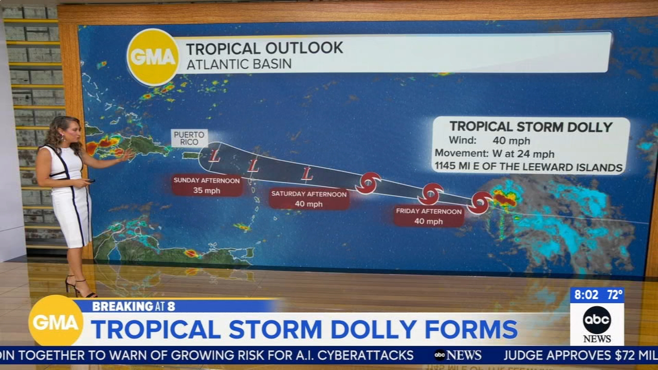
Tropical Storm Karina has strengthened into a hurricane in the Pacific Ocean and could become a major storm by week's end. The National Hurricane Center reports the storm has maximum sustained winds of 80 miles per hour, making it a Category 1 hurricane. Located 820 miles southwest of Mexico's Baja California Peninsula, Karina poses no direct threat to land but will generate dangerous surf and rip currents along southwestern Mexico's coast.
Storm Strengthens Rapidly in Open Pacific
Karina crossed the threshold from tropical storm to hurricane status in recent hours. Multiple news outlets confirm the system now carries sustained winds of 80 mph, the minimum needed for Category 1 status. Forecasters tracking the storm expect it could intensify further as it moves northwest across warm Pacific waters.
Path Keeps Storm Away From Populated Areas
The hurricane's current trajectory takes it into the open Pacific, well away from populated land. Reports indicate Karina sits approximately 820 miles southwest of the Baja California Peninsula. This track means coastal Mexico and the peninsula will avoid the strongest winds, though they will still experience rough conditions.
Dangerous Surf and Rip Currents Expected
Even from its remote ocean location, Karina will impact nearby coasts through large swells. The National Hurricane Center warns that southwestern Mexico and Baja California should prepare for dangerous surf and powerful rip currents. Swimmers and beachgoers in these areas should exercise caution as the hurricane approaches later this week.
Potential for Major Hurricane Status This Week
Forecasters are monitoring whether Karina could strengthen into a major hurricane—meaning winds of 111 mph or stronger. Warm Pacific waters and favorable atmospheric conditions could allow further intensification. Authorities will continue updating the forecast as the system moves across open ocean in the coming days.
Sentiment
NeutralNEGATIVENEUTRALPOSITIVE
Publishers
9
Articles
9
Reach
9
Topics
A
AnonymousAuthor


