Pacific Hurricane Karina
Hurricane Karina strengthens over the open Pacific and is forecast to become a major storm.
Anonymous
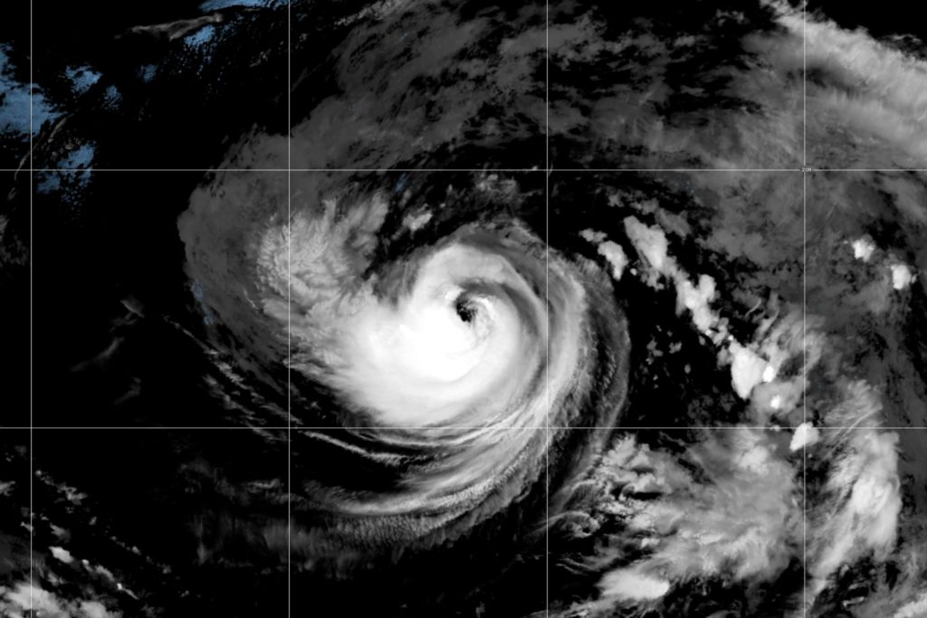
Hurricane Karina strengthened into a full hurricane on Sunday over the Pacific Ocean, far from any populated areas. National Hurricane Center forecasters say the storm is expected to intensify into a major hurricane within days, but poses no immediate threat to land.
Karina Crosses the Hurricane Threshold
Tropical Storm Karina officially became a hurricane on Sunday as it churned over open Pacific waters. National Hurricane Center officials warned that the storm could reach major hurricane status—meaning Category 3 or higher—within the next few days. The system remains hundreds of miles away from any coastline.
Why Ocean Storms Strengthen Over Warm Water
Hurricanes gain power from warm ocean temperatures. Karina is located over waters that are ideal for storm development, allowing it to draw energy and spin faster. This is why forecasters expect it to keep intensifying over the next several days. Once it approaches cooler waters or land, it will begin to weaken.
No Immediate Danger to Populated Regions
The storm's center is currently far out to sea with no threat to homes, businesses, or people on the coast. Meteorologists are tracking its path, but at this stage, Karina poses no risk to land. The National Hurricane Center will continue to monitor the system as it develops.
Sentiment
NeutralNEGATIVENEUTRALPOSITIVE
Publishers
6
Articles
6
Reach
6
Topics
A
AnonymousAuthor


